No Interstates, No GPS: Our Back-Roads Loop Through the Northeast
On July 18, 2026, Diana and I set out on a back roads road trip from our driveway in LaGrange, Georgia, with The Little Guy in tow and two rules for the road.
Rule one: no interstates unless there was absolutely no other choice. That went for big cities too. Any major populated area was to be avoided at all costs.
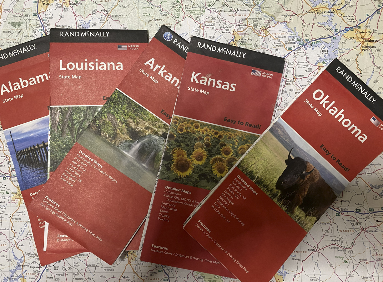
Rule two: no GPS. We did all our routing the old-fashioned way, on Rand McNally paper maps. If we got lost, we asked a local for directions.
▶ Watch: Paper Maps and Shenandoah
We had a few other habits too. We tried to keep travel days under 200 miles. We stayed at least two nights everywhere we stopped, almost always in state or national parks. If we passed a historical marker, we stopped and read it.
And on travel days, when we stopped for breakfast, we had a foolproof system: look for the place with a parking lot full of pickup trucks in the morning. Working folks know where the good breakfast is. If there weren’t any trucks to go by, we just asked somebody in town.
We got home on August 11, about three and a half weeks later. Here’s how it went.
Georgia, Tennessee, and a Mountain in the Rain
Our first night out was close to home at Fort Mountain State Park in North Georgia. From there we headed to Big Ridge State Park near Maynardville, Tennessee.
Then came Grayson Highlands State Park in Virginia, in the shadow of Mount Rogers, the highest point in the state. The drive up was a rainy one, and the higher we climbed, the worse the rain and the visibility got. The state road was narrow, though we’ve been on worse, and there was no place to turn around, not even for a camper as small as ours.
A few miles from the park, on a steady climb heading into a sharp curve, I suddenly noticed a car in my lane. It was coming at me. Backwards. With its flashers going.
At the same moment, I spotted a man farther up the road, waving his arms like a madman. Now I’m wondering, if only in my own head, whether this is a runaway car with nobody in it, headed straight for us.
I stopped the truck, looked over at Diana, and said, “This don’t look good at all. Just hold on.”
I’ll tell you what happened next in its own post, coming soon. Some stories deserve the whole stage.
Grayson Highlands also gave us one of the toughest days of the trip, through no fault of the park. It rained hard and cold all day long. Our one attempt at a hike lasted about a quarter mile before the trail turned into a running river six inches deep and a hundred yards wide. For a minute there, we weren’t sure we’d get back out.
The Highway 21 Surprise
On the way from Grayson Highlands to West Virginia, we stumbled onto something we didn’t know existed: the Highway 21 roadside market. Every year, the roads along Route 21 in Virginia and parts of North Carolina turn into a giant yard sale stretching for miles and miles, with vendors, food trucks, and folks selling just about everything.
We met some of the nicest people along the way, and came away with a few treasures that now ride with us in the camper for good.
Up Through the Mid-Atlantic
From there the trip rolled on, one back road at a time:
- Watoga State Park, West Virginia
- Gambrill State Park, Maryland
- Killens Pond State Park, Delaware
- Hickory Run State Park, Pennsylvania
- A visit with family near Poughkeepsie, New York, not far from where I grew up
- Mashamoquet Brook State Park near Pomfret, Connecticut
High Point, New Jersey, and the Struggle
Next came High Point State Park, the highest point in New Jersey, tucked up in the corner where New Jersey, New York, and Pennsylvania meet. It was a no-utilities site, and on a blazing hot day with only solar power, that meant no air conditioning.
It was also the day we learned that buying a cold drink in that corner of the country takes three states, two stores, and a man in a reflective vest. That story turned into one of our most popular videos, and it’s got its own post: The Struggle Is Real: Three States, Two Stores, and One Cold Drink
The Long Way Home
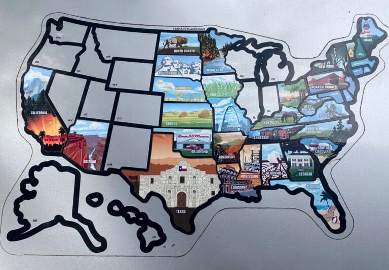
After a stop at Codorus State Park in Hanover, Pennsylvania, we’d collected every state sticker we came for, so we pointed The Little Guy south and took our sweet time about it. We drove the length of Skyline Drive through Shenandoah National Park, stayed at a KOA near Charlottesville, Virginia, and spent our last night out at Stone Mountain State Park near Roaring Gap, North Carolina.
Then one long day brought us home to LaGrange.
More to Come
There’s a lot I haven’t told you here: the campgrounds we’d go back to tomorrow, the ones we wouldn’t, and what we’d do differently next time. Those deserve more than a line or two, so they’re getting articles of their own, along with a trip planning guide to help you map out a back-roads adventure of your own.
In the meantime, my advice is simple: fold up a paper map, skip the interstate, and follow the pickup trucks to breakfast.
I’m just saying.
One Comment